Place Categories: Nature Waterfalls
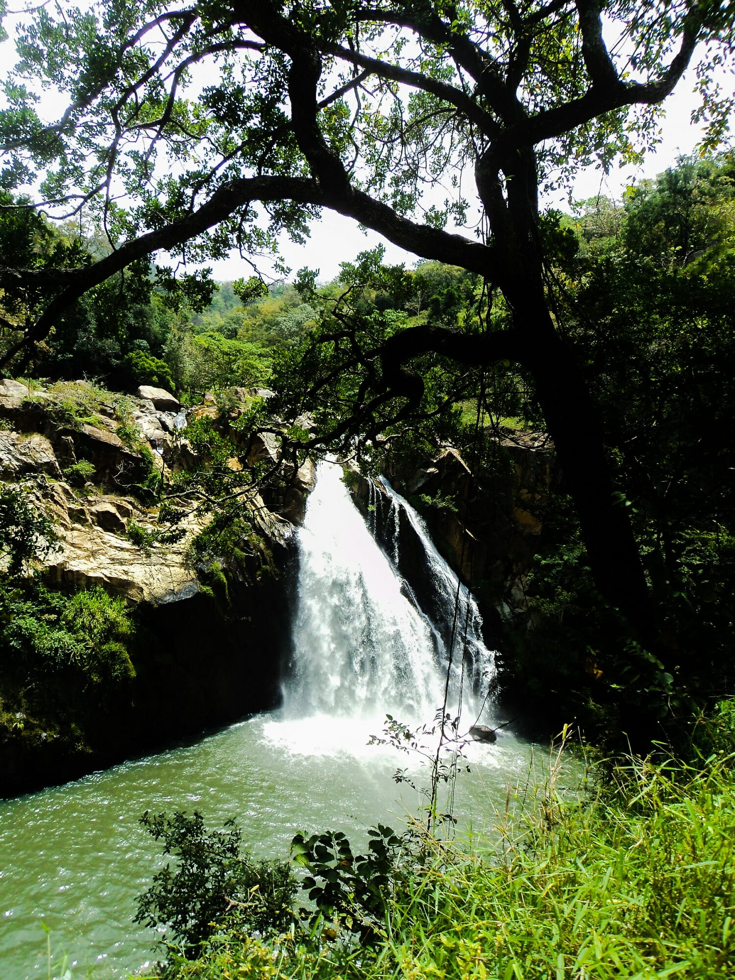
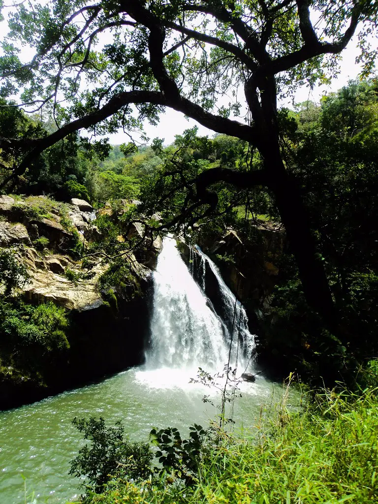
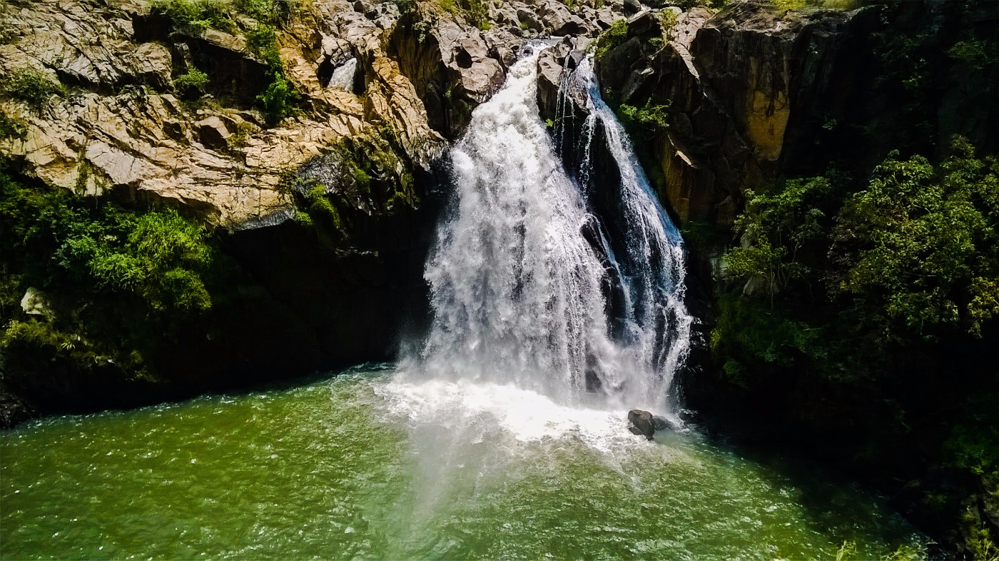
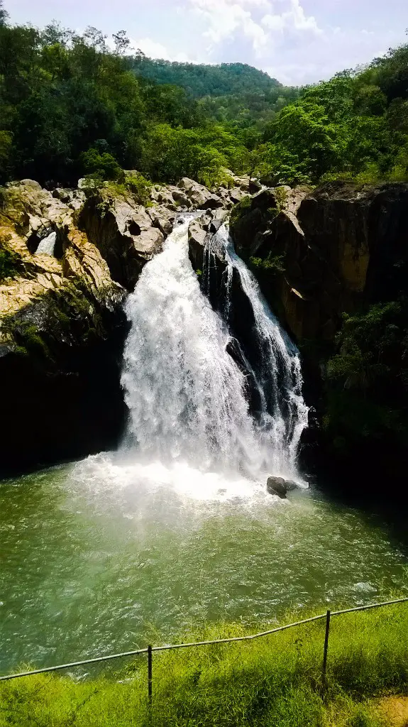
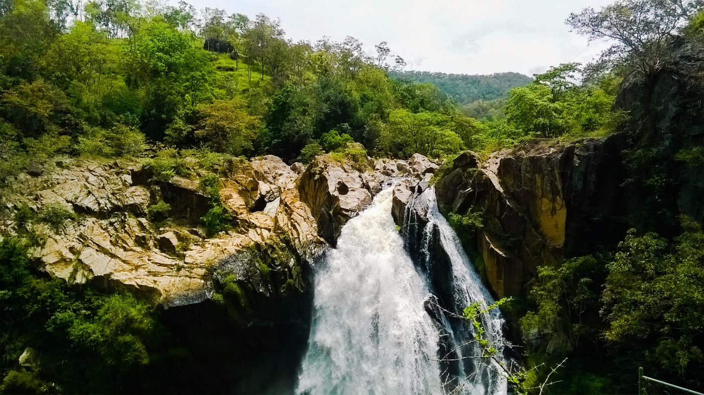
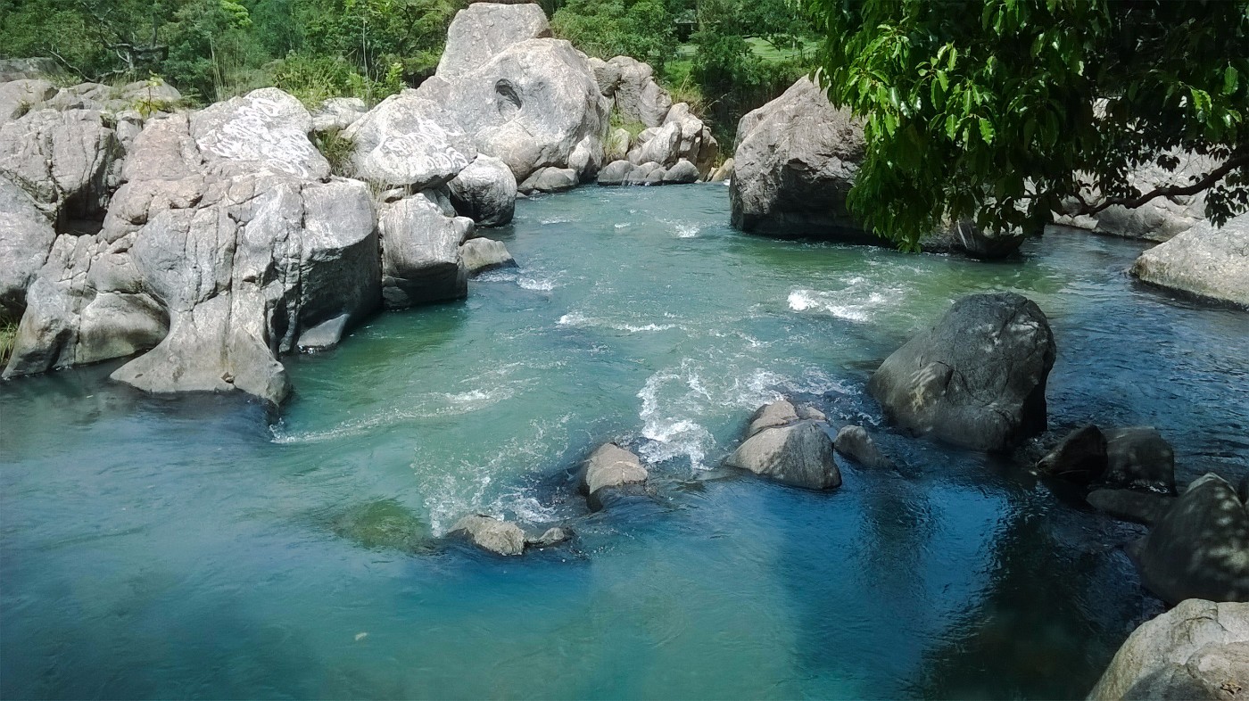
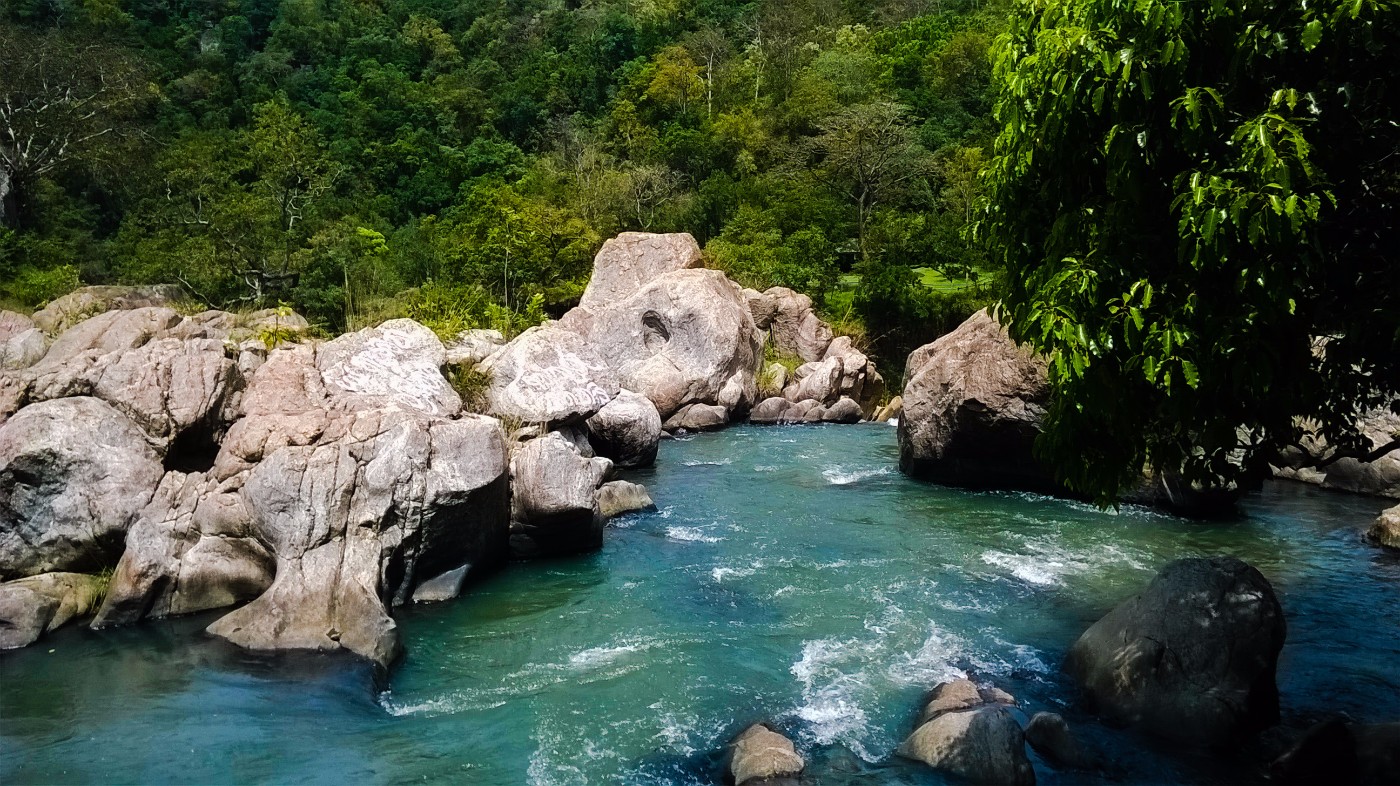
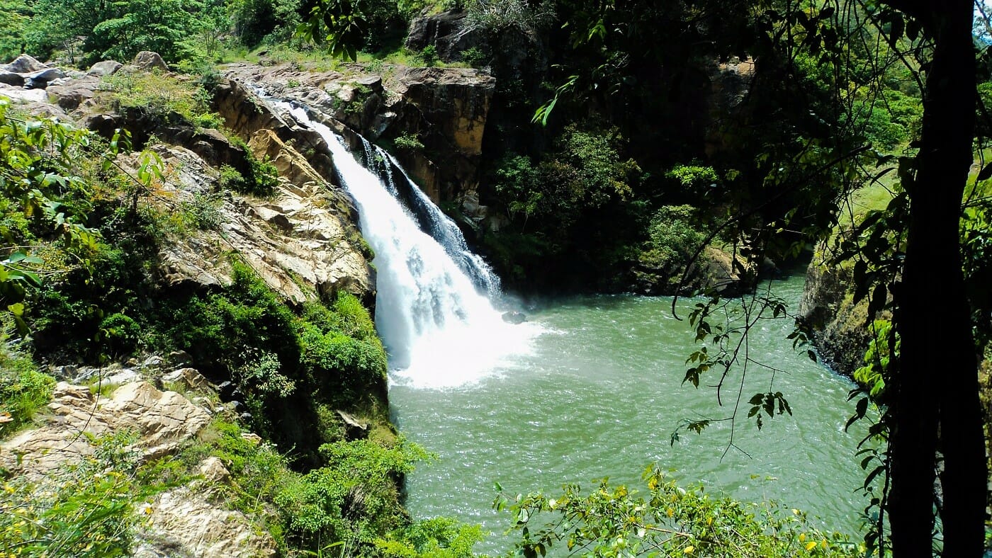
This is another beautiful creation of mother nature. The height of the Doowili Ella Waterfall is 63 feet and it is part of the Walawe River. The waterfall is located in the Kalthota area of Ratnapura District in Sabaragamuwa Province. The term “Doowili” (in Sinhalese) has the meaning of dust. It is believed that the name “Doowili” is given due to the vapor spread out in the vicinity of the area by the waterfall.
Loading...
No Records Found
Sorry, no records were found. Please adjust your search criteria and try again.
Maps failed to load
Sorry, unable to load the Maps API.
Favorite
The Sankapala Raja Maha Viharaya is located in the Ratnapura District of Sabaragamuwa Province, Sri Lanka. According to rock inscription found here, the history of this temple goes back to the reign of King Dutugemunu (161-137 BC). As said by the legends, there had been Ten Giants in king Dutugemunu’s troops. The giant Pussadeva is one of them who had a special skill of blowing conch shells (“Sankha” in Sinhala) so loudly. The symbol of the giant was also the conch shell itself. After winning the Vijithapura war, the king Dutugemunu has offered this area to the Pussadeva giant. Later, he has Read more...
Favorite
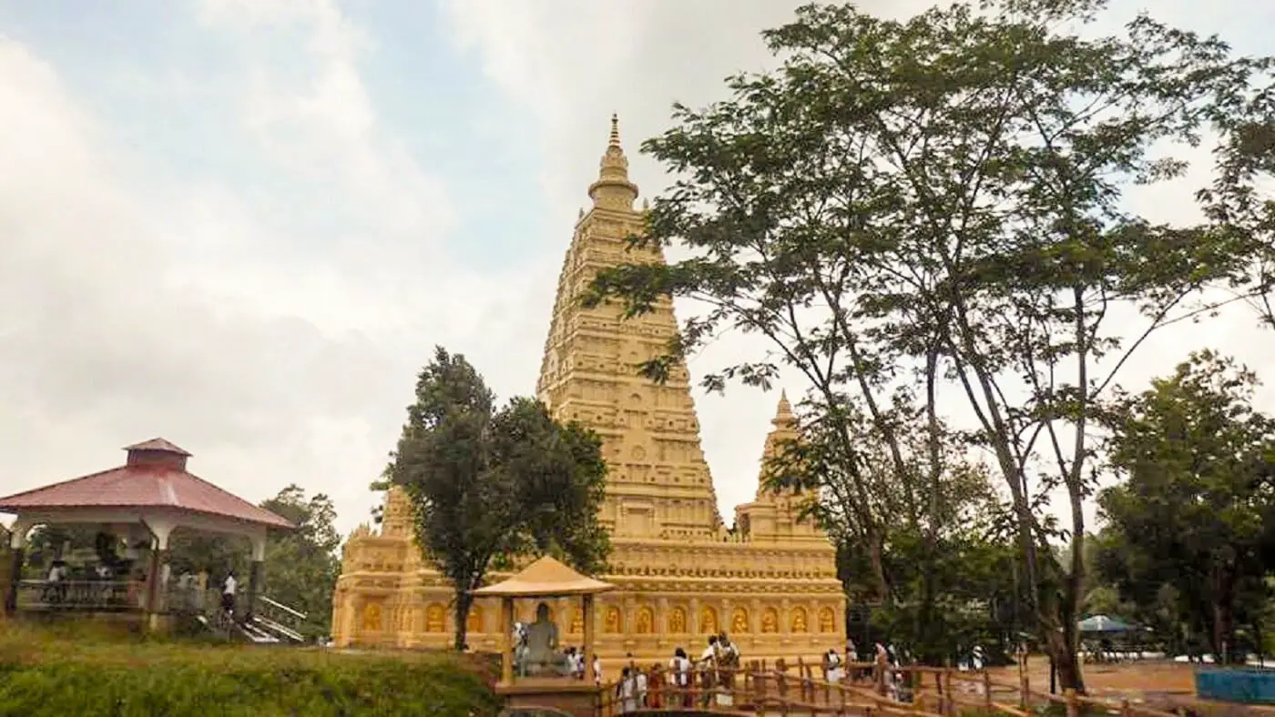
Punchi Dambadiva is located in the Ratnapura District of Sabaragamuwa Province, Sri Lanka. It is Buddhist temple which hosts replicas of the sacred monuments found in the pilgrim site of Dambadiva. The Punchi Dambadiva project has been started in 1981 and currently consists of the replica of Buddhagayawa, Piriniwan Manchakaya depicting the passing away of Buddha located in Kusinarawa, a replica of the first dhamma sermon Buddha gave to his five disciples in Isipathanaramaya and many others monuments. Enter your current location in the search box under the map to find the best route to the Punchi Dabadiva. Click here Read more...
Favorite
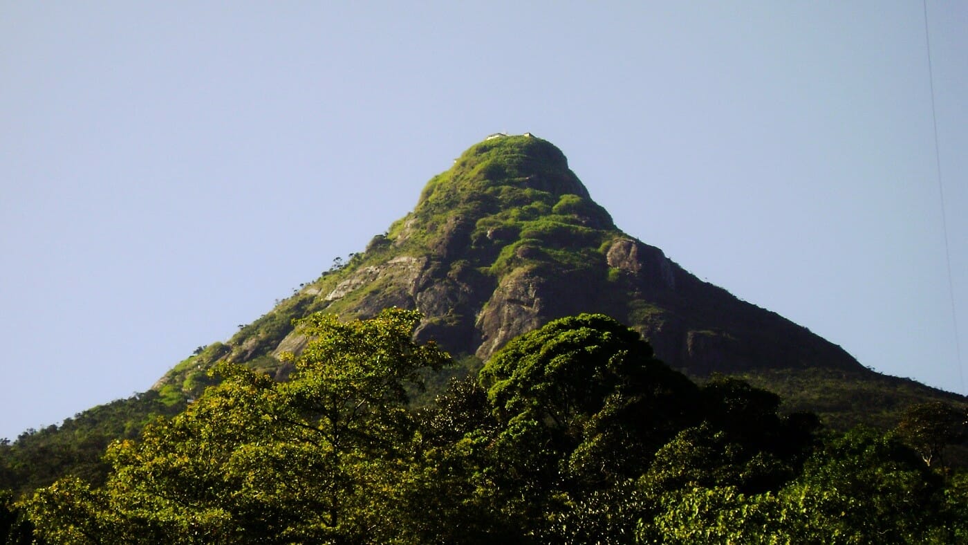
The Sri Pada mountain (Adam’s Peak/ Samanala Kanda) is venerated by four religions. Accodring to the Sri Lanka’s chronicles, Lord Buddha at his third visit to Sri Lanka, placed his foot imprint on a rock at the top of the mountain on the invitation of God Sumanasaman. Sri Pada is the second highest (height: 2,243m) mountain in Sri Lanka. It is located along the border of Central Province and Sabaragamuwa Province. According to the Survey Department of Sri Lanka, the mountain is belongs to the Ratnapura District of Sabaragamuwa Province. The annual Sri Pada pilgrimage season is begins on Poya Read more...
Favorite
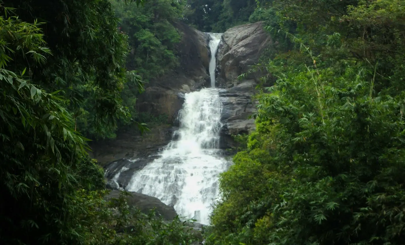
Bopath Ella Waterfall is located in Agalawatta Village in Kuruvita, in the Ratnapura District of Sri Lanka. The waterfall has the shape of a Bo leaf. The name “Bo-path Ella” has been given to it because of this shape. In Sinhalese, “path” means the leaves of a tree and “Ella” is the Sinhala translation of the term “waterfall”. The waterfall is 30m high and it is formed from the Kuru Ganga. The Kuru Ganga is joined with the Kalu Ganga at Madara. Bopath Ella is a major tourist attraction in Sri Lanka, as it is located not far from the capital, Read more...
Share this:
- Click to share on X (Opens in new window) X
- Click to share on Facebook (Opens in new window) Facebook
- Click to share on LinkedIn (Opens in new window) LinkedIn
- Click to share on Reddit (Opens in new window) Reddit
- Click to share on Tumblr (Opens in new window) Tumblr
- Click to share on Pinterest (Opens in new window) Pinterest
- Click to share on WhatsApp (Opens in new window) WhatsApp
- Click to email a link to a friend (Opens in new window) Email
